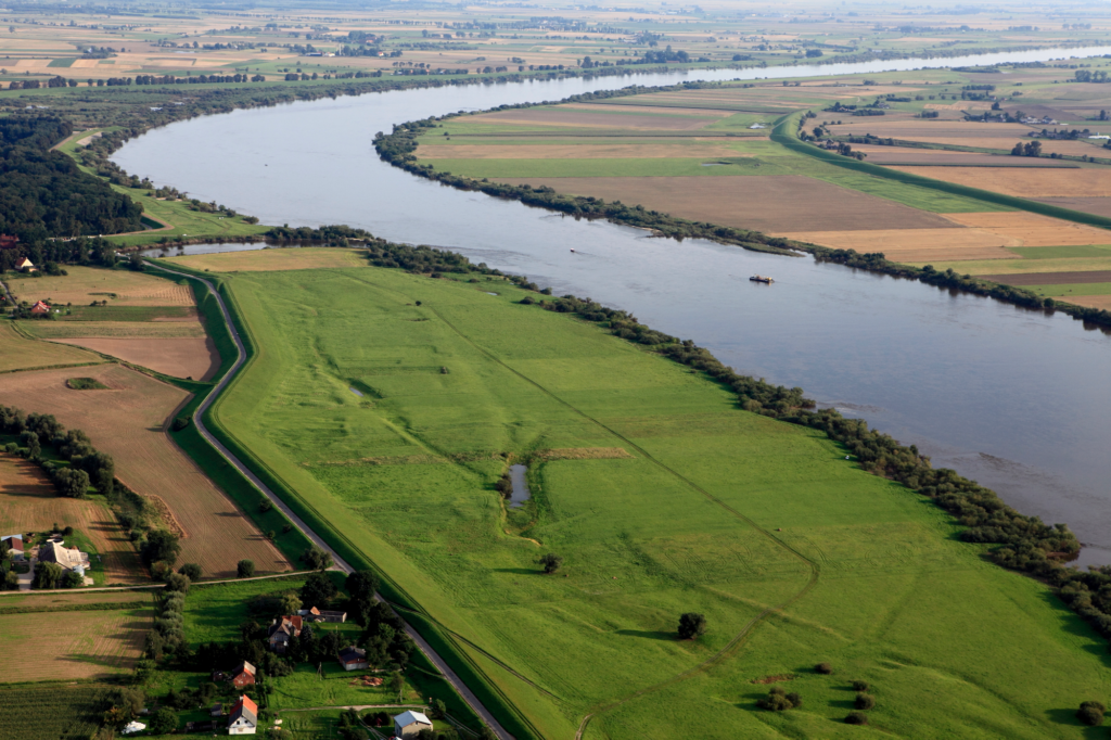
Flooding is a reality for many parts of Alabama, especially in low-lying coastal and inland floodplain areas. Property owners and developers are often required to provide Elevation Certificates in Alabama to reduce risk and ensure compliance with federal and state regulations.
Whether your land is located in a flood plain is important not only because of the possibility of flooding, but also because mortgage companies may require you to secure flood insurance before they will finance your purchase. The FEMA site tells you whether flood insurance will be required if you plan to finance land that lies within the flood plain outlined on their maps.
The FEMA flood plain maps are known as Flood Insurance Rate Maps, or FIRMs. Mortgage companies who you may contact to finance your real estate purchase are required by law to determine whether the plot of land lies in any floodplain that is expected to flood at least once per century. When the land in question lies in such a flood plain, the mortgage company may require that you obtain flood insurance before they will finance the land, since the land has a substantial risk of flooding during the lifespan of a typical 30-year mortgage.
If your land lies in a 100-year or more frequent floodplain, it is also known as lying in a Special Flood Hazard Area, or SFHA for short. Instead of purchasing flood insurance, you can also apply for a Letter of Map Amendment (a LOMA) or a Letter of Map Revision (a LOMR) to show that your land or building is not actually in the flood plain. Only the LOMA or LOMR can remove the requirement for flood insurance. You may also need an Elevation Certificate, which applies to buildings constructed on elevated structures so that the buildings themselves are higher than the flood level. All of these require a land survey to give you as accurate of a picture of the land as possible. They are particularly useful if you have changed the elevation of the land significantly through grading or other activities or have built up the land underneath a building so that the building no longer lies in the flood plain despite the fact that the area around it still does.
This guide explains what an Elevation Certificate is, when it’s required, and why it matters for development, permitting, and insurance in Alabama.

What Is a Flood Elevation Certificate?
A Flood Elevation Certificate (FEC) is a FEMA-approved document prepared by a licensed engineer or surveyor that verifies a building’s elevation relative to the Base Flood Elevation (BFE).
It is used to:
- Determine compliance with local floodplain management regulations.
- Calculate accurate flood insurance premiums under the National Flood Insurance Program (NFIP).
- Provide necessary documentation for building permits in flood zones.
- Without a valid Elevation Certificate, developers and property owners may face delays, higher insurance premiums, or even denial of permits.
When Is a Flood Elevation Certificate Required in Alabama?
An Elevation Certificate is not always mandatory, but several scenarios require it:
- New construction in a FEMA-designated flood zone (Special Flood Hazard Area).
- Substantial improvements or additions to existing structures within floodplains.
- Insurance underwriting when purchasing or renewing a flood insurance policy through NFIP.
- Local permitting agencies may require it as part of the building or zoning approval process.
| Scenario | EC Required? | Details |
| Major Renovations in Floodplain | Yes | Applies to improvements exceeding 50% of value |
| Flood Insurance Purchase | Often | NFIP requires EC to set premium rates |
| New Construction in FEMA Floodzone | Yes | Needed to prove compliance with Base Flood Elevation |
| Minor Remodels Not Affecting Elevation | Not generally | Only applies if project impacts flood risk |
| Local Permit Review | Varies | Some municipalities require ECs even outside FEMA zones |
Why Elevation Certificates Matter
- Insurance Savings: An accurate certificate may significantly reduce flood insurance costs.
- Regulatory Compliance: Required for many building permits in flood-prone areas.
- Risk Management: Helps owners and developers understand site-specific flood exposure.
- Property Value: Documentation increases buyer confidence and reduces liability.
How We Make An Impact
CFE works with developers and property owners to navigate floodplain management projects. We will assist with checking FEMA flood maps and your municipality’s floodplain ordinance before starting design. We will assist with reviewing or obtaining the Flood Elevation Certificate. We also assist with floodplain permitting, and stormwater design to ensure projects meet FEMA, NFIP, and local standards. Our integrated team streamlines the permitting process while safeguarding long-term property value.
Conclusion
Flood Elevation Certificates play a vital role in Alabama’s floodplain management system. They are more than a compliance form—they’re a safeguard for property value, safety, and long-term development viability.
Developers who address elevation documentation early avoid costly insurance surprises and permitting delays.